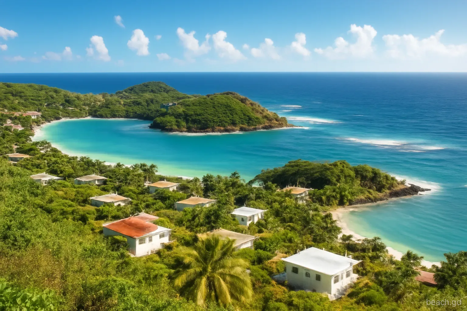
Grenada's two coasts can feel like different islands on the same morning. Stand on Grand Anse and the sea is a glassy turquoise lapping a few centimetres up the sand; drive to Bathway and white water is crashing on the reef while spray drifts across the beach. Both are normal. The difference is the trade wind, and once you understand how it works you can pick the right beach for almost any day of the year.
The season adds a second layer. Winter brings swell from distant northern storms and a spell of stronger winds; summer and autumn bring hurricane season, the heaviest rain and, in some years, rafts of sargassum seaweed on the windward shore. None of this makes Grenada a rough place to swim. It just means the best beach changes, and checking the sea before you set off saves a wasted drive.
The basic pattern: windward versus leeward
The north-east trade winds blow across Grenada for most of the year. The east and north-east coasts, the windward side, face straight into them. That is where you find surf, onshore wind, reef-protected pools and occasional strong currents: Levera, Bathway, the Grenville area and the long St Andrew shoreline.
The west and south-west coasts are the leeward side, sheltered by the island's mountainous spine. Grand Anse, Morne Rouge, Grand Mal and the beaches north along the west coast towards Gouyave usually have the calmest water on the island. The south coast, a ragged line of peninsulas and bays from Point Salines to La Sagesse, varies bay by bay: inlets such as Prickly Bay and Mount Hartman Bay are sheltered harbours, while headlands facing south-east catch more chop.
Carriacou follows the same logic on a smaller scale. Its western beaches near Hillsborough and L'Esterre, including Paradise Beach, are generally calmer than its exposed eastern shore around Windward.
Season by season
December to March: north swell and Christmas winds. Storms in the North Atlantic send long-period swell south. It hits the north coast around Sauteurs and Levera hardest and, in strong events, wraps into normally calm west-coast bays as ground seas. Around Christmas and into January the trades often blow harder, roughening the Atlantic side. Mornings are usually still calmer than afternoons.
February to May: the dry-season sweet spot. The dry season brings steady, moderate trades, clear skies and good underwater visibility. Leeward beaches are at their most reliable. This is also when the Atlantic beaches tend to be at their most manageable, though the reef gaps never stop pulling.
June to August: early hurricane season and sargassum. Hurricane season runs officially from 1 June to 30 November. Early-season storms are often weaker, but tropical waves bring squalls and sudden gusty, choppy afternoons. In recent years sargassum seaweed has arrived in large quantities on Caribbean windward coasts in spring and summer, and Grenada's east coast is no exception.
September to November: heaviest rain and peak storm risk. The rainiest months combine the peak of hurricane season with heavy showers. Even distant systems can send swell to the island. Rain runoff clouds the water near rivers and drains for a day or two after big downpours, so pick beaches away from river mouths.
How to read the sea on the day
Forecasts help, but the most reliable information is what you can see when you arrive. Before swimming, check:
- Wind on the trees. Palm fronds streaming hard towards the west mean a strong trade: good for leeward beaches, rougher for Atlantic ones.
- White caps offshore. Scattered white caps beyond the bay mean a breezy day and choppier water around exposed headlands.
- The interval between waves. Long, slow, well-spaced waves on a calm day signal distant swell, which can surge further up the beach than you expect and create currents.
- Water colour. Brown or cloudy water near shore after rain means runoff; save snorkelling for another beach or another day.
- Sargassum. Brown mats along the tideline or floating offshore; fresh weed is harmless, but rotting piles smell of rotten eggs and are best avoided.
- Sky to the east. A dark squall line coming over the hills can bring a burst of wind, rain and chop for twenty minutes, then clear again.
Planning a beach day around the conditions
A simple routine helps you choose well, especially on a short trip:
- Check a marine or surf forecast for wind speed, swell height and swell direction. North-west to north swell matters for the north coast and, in larger sizes, the west coast.
- Watch for official notices from the Grenada Meteorological Service and the National Disaster Management Agency, NaDMA, which issue tropical storm watches and warnings and small-craft advisories.
- Match the beach to the day: windy trades favour Grand Anse, Morne Rouge or the west coast; light winds open up the Atlantic beaches and the south-coast coves.
- Go early. Wind generally builds through the morning, so the calmest water of the day is usually before 10am.
- If you are taking a boat trip, to Sandy Island off Carriacou, Hog Island or along the coast, let the skipper decide. A cancelled trip on a rough day is a good skipper's call.
- Have a backup beach on the other coast in mind before you leave.
Mistakes that come from misreading the sea
The most common is judging the Atlantic coast by the Caribbean side. Visitors staying at Grand Anse see flat water all week and assume Bathway or Levera will be the same, then arrive to find surf and currents. The reverse also happens in winter, when a north swell reaches the west coast and a normally placid bay suddenly has waves rushing up the beach and pulling back hard.
A second mistake is ignoring the sea once a hurricane has passed far away. Swell from a storm hundreds of kilometres north can arrive under blue skies, often a day or more before or after the system is nearest. Beach erosion, debris and strong backwash follow.
Boat passengers heading north to Carriacou should also know about Kick 'em Jenny, the active submarine volcano between Grenada and Carriacou. When its alert level rises, authorities set an exclusion zone for vessels, and skippers adjust routes. It does not affect beach swimming, but it is a reminder that marine notices in Grenada are worth reading.
Tides, the moon and the shape of the beach
Tides in Grenada are small compared with northern Europe or North America. The difference between high and low water on an ordinary day is usually well under a metre, and many visitors never notice the tide at all. It still matters on certain beaches. At low tide, reef flats and rock pools at the ends of bays are exposed, which is perfect for exploring with water shoes but leaves less depth for swimming over coral. At high tide, narrow beaches can shrink to a thin strip of sand, and some coastal walks between bays are cut off.
Around new and full moons, spring tides are a little larger, and when they coincide with swell or strong wind the sea can reach the back of the beach and the vegetation line. That is when you see waves washing around beach bars and lapping at seawalls along the leeward coast after a winter swell.
Beaches also change shape over time. Storms and seasonal swells move sand around, so a gently shelving entry one year can become a steeper step the next, and old rocks and reef can be exposed. Treat guidebook descriptions as a starting point and look at the beach as it is today.
Frequently asked questions
Which side of Grenada has the calmest sea?
The leeward west and south-west coasts are the calmest for most of the year, including Grand Anse, Morne Rouge and the beaches north towards Gouyave. They sit in the shelter of the island's mountains while the trade winds blow from the east, so waves there are usually small.
When is the sea roughest in Grenada?
The Atlantic coast is rough much of the time. Island-wide, the roughest periods tend to be winter north-swell events between December and March and the passage of tropical storms or hurricanes, mostly between August and October. Squalls can also roughen the sea briefly at any time.
Does Grenada get sargassum seaweed?
Yes, mainly on the windward east coast, in common with other Caribbean islands. Arrivals vary greatly from year to year and are usually heaviest in spring and summer. The sheltered west-coast beaches are much less affected, so they are the fallback when the Atlantic side is covered.
Is it safe to swim during hurricane season?
On most days, yes. Hurricane season covers six months and storms affect Grenada only occasionally. Swim normally on calm days, but stay out of the sea when a tropical storm watch or warning is in place or when heavy swell is running, and follow NaDMA advice.
What are ground seas?
Ground seas is the local term for large swells arriving from distant storms, often in winter. They can surge high up beaches that are normally calm, cause strong backwash and currents, and sometimes damage seawalls and coastal roads. Stay out of the water and well back from the waterline during them.