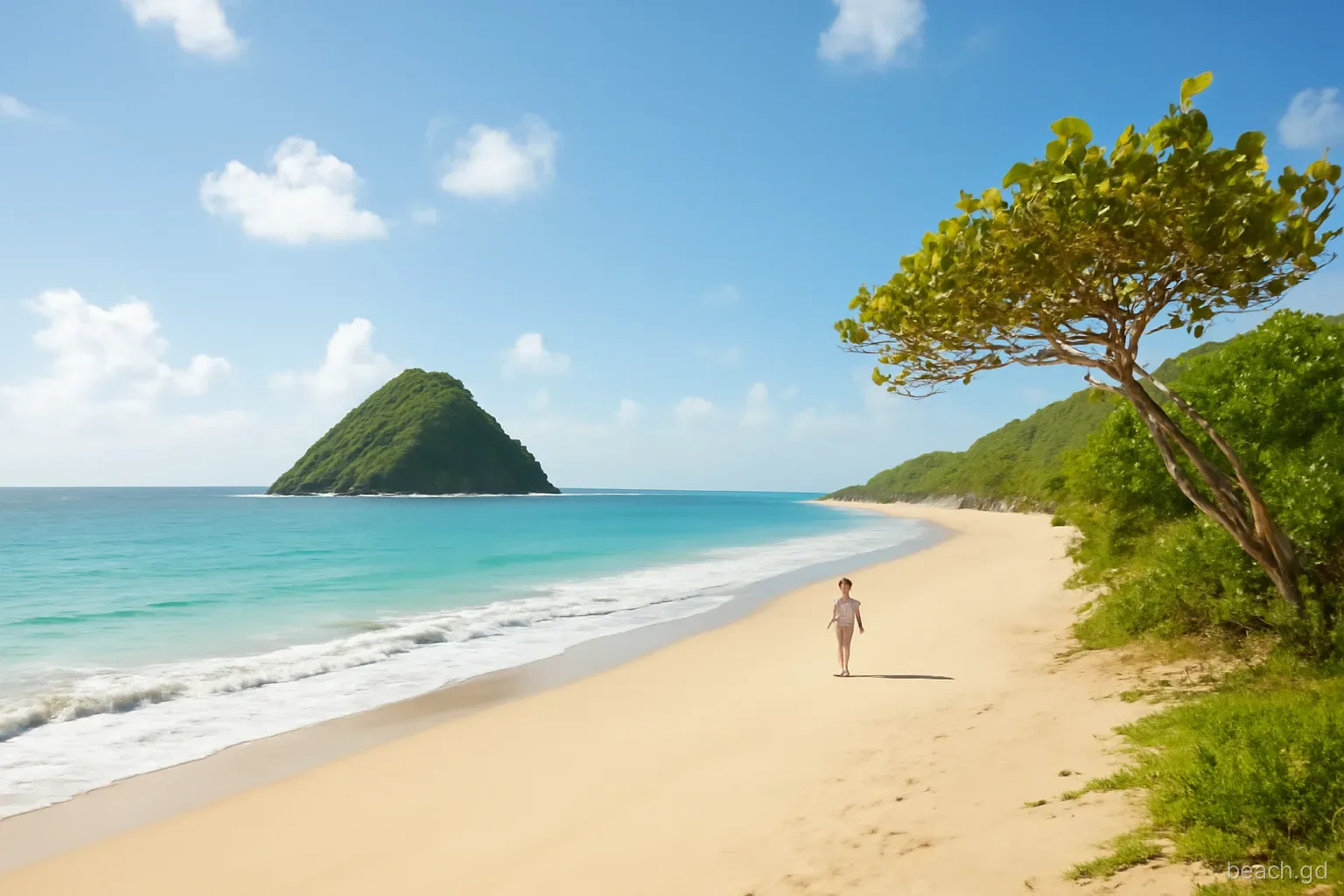
Levera is the beach people photograph and Bathway is the beach people swim at. The two are only a short drive apart on the north-east corner of the island, but Levera feels like the end of the road: a long, open curve of sand facing the Atlantic, steep green Sugar Loaf island sitting just offshore, a mangrove-fringed pond behind, and usually nobody else in sight.
It is also a protected place. Levera National Park takes in the beach, the pond, the coastal scrub and the islets offshore, and the beach is one of the most important leatherback turtle nesting sites in the eastern Caribbean. A daytime visit is open to anyone who treats it gently. This page covers what Levera is like in daylight, how to reach it, why swimming is a poor idea and how to behave so the park stays the way it is.
What you find when you arrive
From where the track ends, the sand runs in a long arc towards the headland facing Sugar Loaf, also called Levera Island. Beyond it on a clear day you can pick out Green Island and Sandy Island, and further north the faint chain of the Grenadines. The sand is golden to pale brown, deep and soft at the back where it meets a band of sea grape, and firmer near the water.
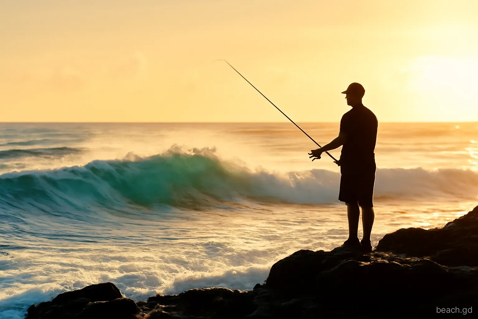
The sea is the opposite of the leeward coast. The trade wind blows straight in, waves break close to shore, and the beach shelves more steeply than it looks. The sound of the surf is constant. After storms and during sargassum season, driftwood, seaweed and plastic washed across the Atlantic collect along the high-tide line, and volunteer clean-ups have long been part of the beach's routine. On some days it is spotless; on others it shows exactly what the ocean carries.
Weather changes the mood completely. Under a clear sky in the dry season the water turns deep blue with white crests and the island stands out sharply offshore. On grey rainy-season days squalls march in from the sea one after another, the horizon closes in and the whole beach goes silver and moody. Both are worth seeing, but the second calls for a waterproof layer and an eye on the track back, which softens quickly in heavy rain.
Why Levera is a walking beach, not a swimming beach
No reef shelter. Unlike Bathway, Levera has no rock shelf to break the swell. Waves arrive with the full fetch of the Atlantic behind them, and the backwash on a steep beach can take your legs from under you in knee-deep water.
Currents near the headland. Water piling into the bay has to escape, and it does so along the shore and out past the point towards Sugar Loaf. The channel between the beach and the island looks short and tempting. It is not a swim.
No lifeguards, no facilities. There is no lifeguard service, no toilet block and no vendor. If something goes wrong, help is a long way off and phone signal can be patchy.
A paddle is fine, with care. Standing in the wash on a calm day is pleasant, and children love the waves at the edge. Keep them within arm's reach and above knee depth, and do your actual swimming at Bathway.
The pond, the birds and the walk
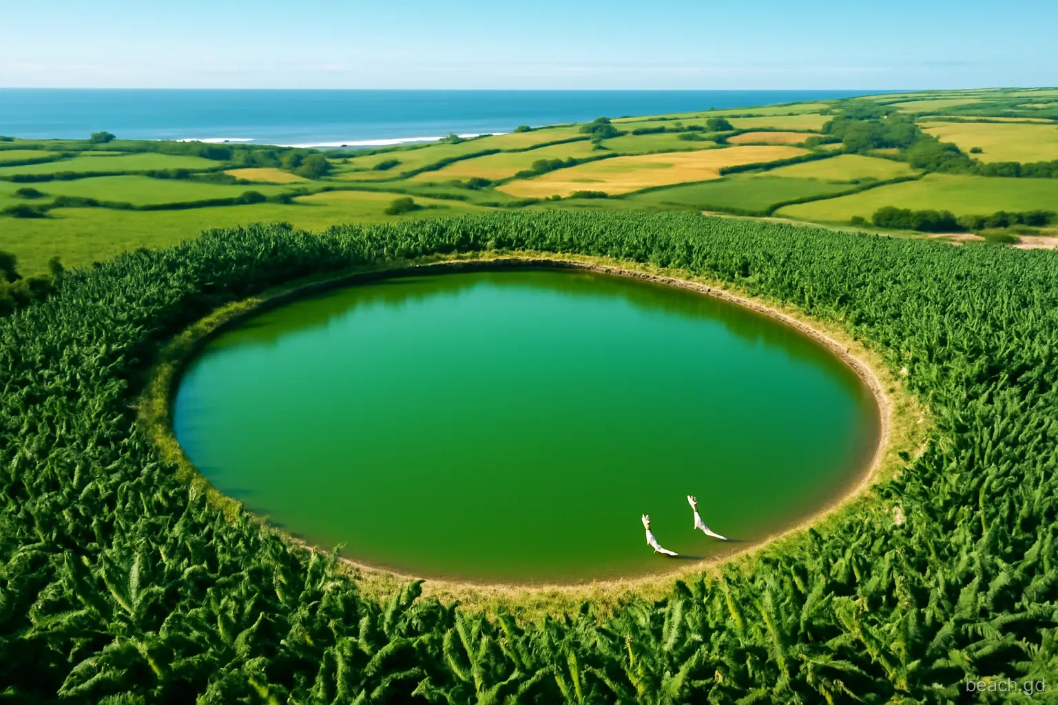
Behind the beach lies Levera Pond, a large shallow lagoon edged with mangroves. It is one of the more significant wetlands on the main island and draws herons, egrets, gallinules and migrating shorebirds, especially in the northern winter. Early morning and late afternoon are the best times to watch; in the middle of the day the birds retreat into the mangroves and the heat shimmers off the water.
A good visit combines both: walk the length of the beach towards the headland, which takes thirty to forty minutes at an easy pace on soft sand, then come back along the edge of the scrub and look across the pond. Paths change with the vegetation and the weather, and parts can be muddy or overgrown in the rainy season. Stay on obvious tracks, do not cut through mangroves and expect sandflies near the pond as the light fades.
Getting there and what the road is like
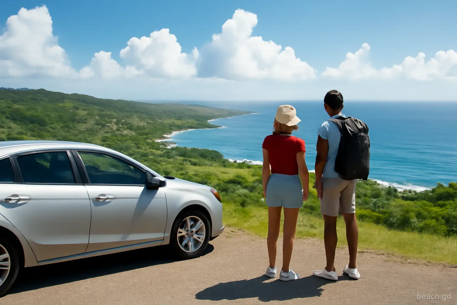
Levera is reached by continuing past Bathway towards the park. The final stretch has historically been a rough, partly unpaved track, and its condition varies from year to year depending on repairs and rain.
- In a hire car: a normal car usually manages in the dry season if driven slowly. After heavy rain, ruts and puddles can make a higher-clearance vehicle much more comfortable. If the track looks bad, park and walk the last part.
- By route bus: buses run from St George's to Sauteurs and on into the north-east villages, but service to the beach end is thin. Plan on walking and confirm the return time with the driver.
- With a taxi or tour: the easiest option for most visitors. Agree the waiting time in advance and whether Bathway and Lake Antoine are included.
- Timing: allow at least an hour and a half from the south-west, and leave well before dark; the track has no lighting.
- Parking: informal, on firm ground near the end of the track. Never drive onto the sand.
- On foot from Bathway: a reasonable walk in the cool of the morning, with water and a hat; less pleasant in the midday heat.
What to bring, because Levera provides nothing
Levera has no shop, no toilet, no tap and no shade beyond the sea grape at the back of the beach. Pack as if for a short hike.
- Plenty of water, at least a litre per person for a walk to the headland and back, more on a still day.
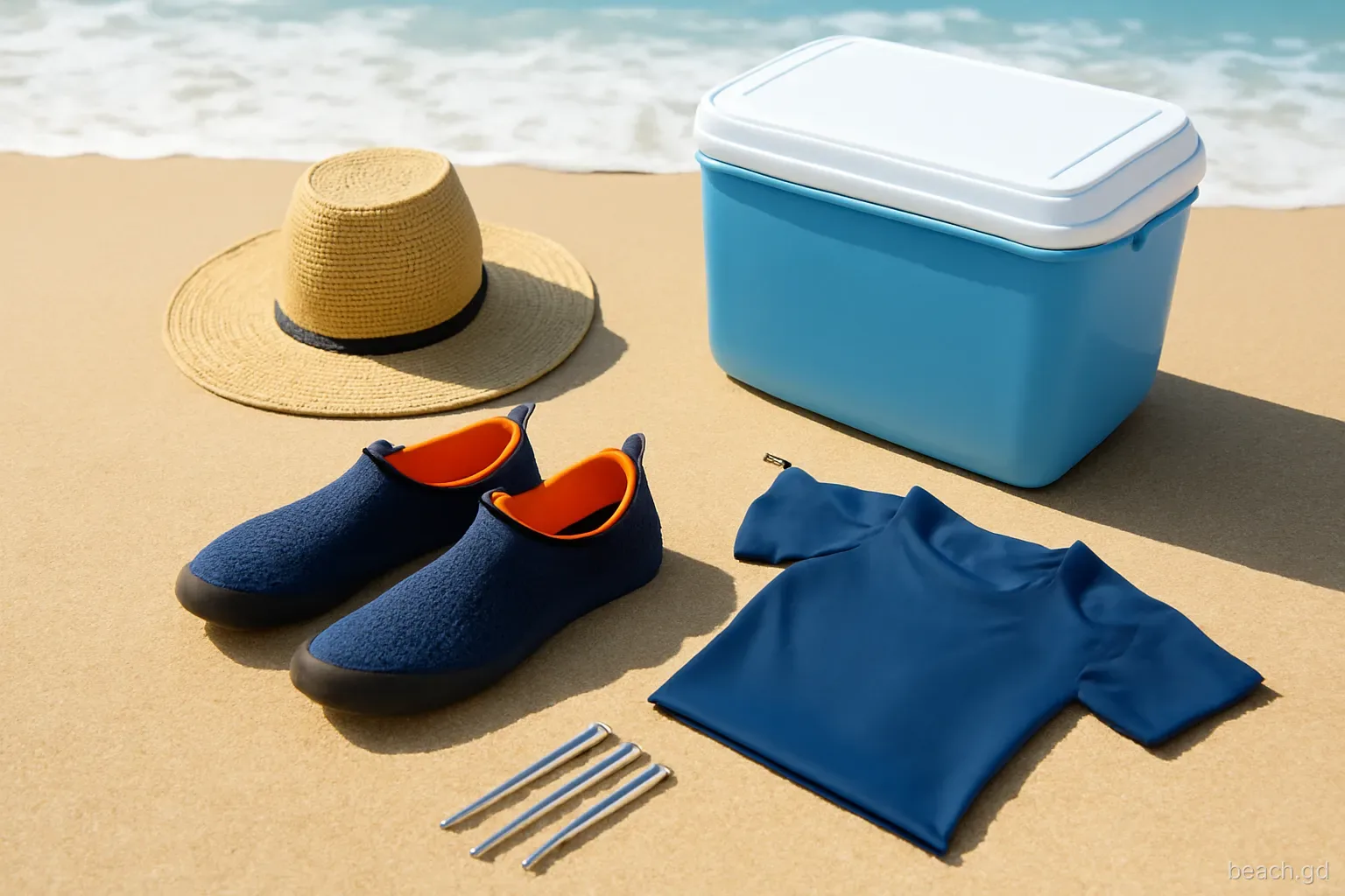
- Sun protection that stays on in wind: a hat with a strap, a long-sleeved shirt and sunscreen reapplied often. The breeze makes the heat feel milder than it is.
- Sturdy sandals or trainers for the track and the edge of the pond; the sand is fine barefoot but the scrub is not.
- Insect repellent for late afternoon near the mangroves, when sandflies and mosquitoes appear.
- Binoculars if you want to watch birds on the pond or pick out detail on Sugar Loaf.
- A rubbish bag for everything you bring, and perhaps a few pieces of washed-up plastic as well.
- Snacks and cash for the drive back; small shops in the villages near Sauteurs and River Sallee are the nearest places to buy anything.
Nesting season: what changes and why
From roughly March to August, leatherback turtles haul themselves up Levera's sand at night to dig nests, and hatchlings emerge weeks later. During this period night access to the beach is controlled, and turtle watching is done only with authorised guided groups that follow strict rules about light and distance. The detail of how those tours work belongs in a separate guide, but daytime visitors need to know a few things.
Nests are buried under the sand and invisible, often marked or monitored by conservation teams. Do not dig holes, plant umbrellas deep or drive stakes in the upper beach during the season. Do not drive or ride anything onto the sand, do not light fires and take every scrap of litter out with you. If you see hatchlings in daylight, which occasionally happens, keep back, keep dogs away and let them reach the sea on their own. Picking them up or carrying them to the water does more harm than good.
Frequently asked questions
Can you swim at Levera Beach?
It is not recommended. Levera faces the open Atlantic with no reef shelter, the beach shelves steeply and currents run along the shore towards the headland. There are no lifeguards. A careful paddle at the edge on a calm day is the most you should attempt; swim at nearby Bathway instead.
Is there an entry fee for Levera National Park?
Daytime access to the beach has generally been free. Guided turtle watching at night during nesting season is a separate, paid activity run by authorised operators. Fees and rules can change, so check with the Grenada Tourism Authority or a local operator before visiting.
Can you walk from Bathway to Levera?
Yes, the two are close enough to walk between along the road and track, which takes a while in the heat but is straightforward. Carry water, wear a hat and avoid the hottest part of the day. Walking along the rocks at the shoreline is not a good shortcut.
What is the island opposite Levera Beach?
The steep green island just off the headland is Sugar Loaf, also known as Levera Island. Further out lie Green Island and Sandy Island, and on clear days you can see the Grenadines to the north. The islets are part of the wider protected area around Levera.
When is the best time of day to visit Levera?
Early morning or late afternoon. The light is softer for photographs, the sand is cooler underfoot and birds are more active on the pond. Leave enough time to get off the track and back to a paved road before dark, since there is no lighting.