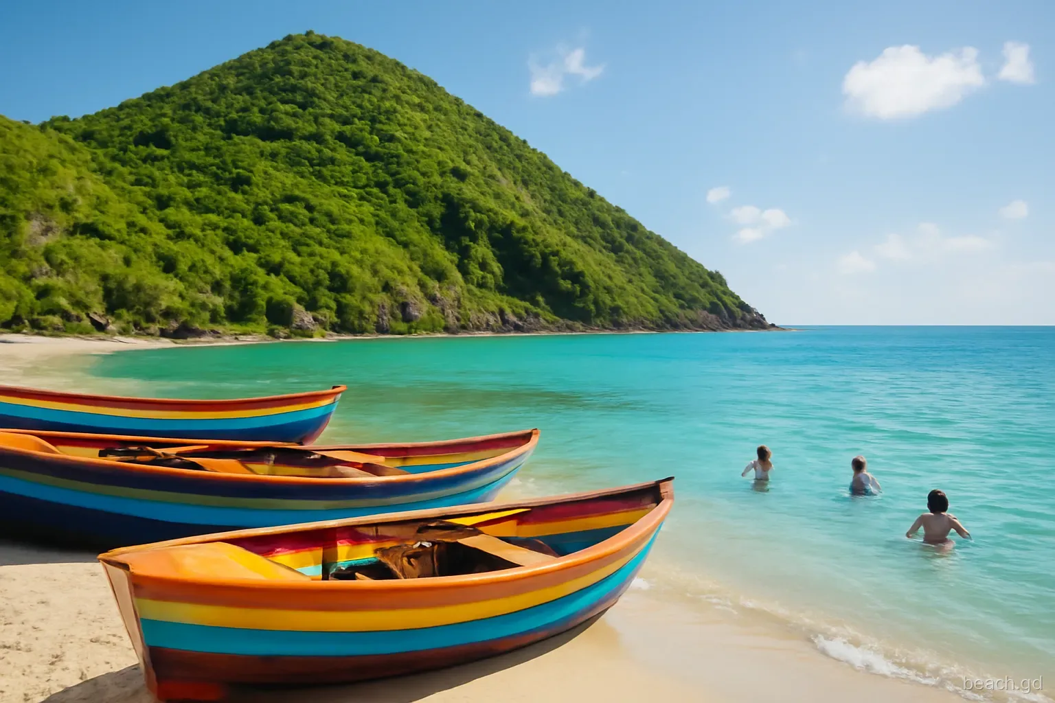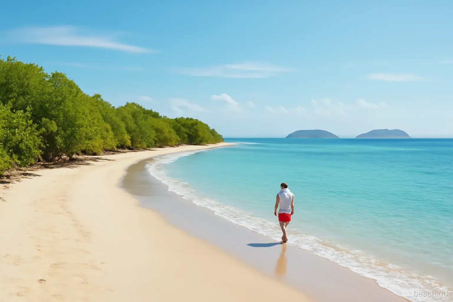
Anse La Roche is the cove people mean when they say Carriacou still has a beach with nobody on it. It sits on the north-west coast below the slopes of High North, the island's highest ground at about 291 metres, with no road down to the sand, no bar and no buildings. You arrive on foot through dry woodland or by boat, and you leave the same way.
That isolation is the appeal and the risk. A sprained ankle on the path, an unexpected swell, or a boatman who misunderstood the collection time all matter more here than on Paradise Beach. This piece sets out both ways in, how long they take, what to carry and the conditions that should make you change your plans.
Where it is and what you find
The cove faces roughly west to north-west, looking out towards the small islands of the Grenadines to the north, with Union Island in St Vincent and the Grenadines on the skyline. Steep, scrubby slopes close it in on three sides. The sand is golden rather than white and the beach is short enough to walk in a few minutes, with rocks at both ends where snorkellers find the most fish.
It lies within the High North area, which the government designated as a national park, so the forest above is meant to be left as it is. Nesting sea turtles have been recorded on this side of the island, which is one more reason the beach has no lights or development.
Beryl damaged trees across the north of Carriacou in 2024, and the forest along the trail looked very different in the months that followed. Paths can be blocked by fallen branches or partly overgrown after a wet season, so recent local advice counts for more than any description, including this one.
The trail from Bogles, step by step
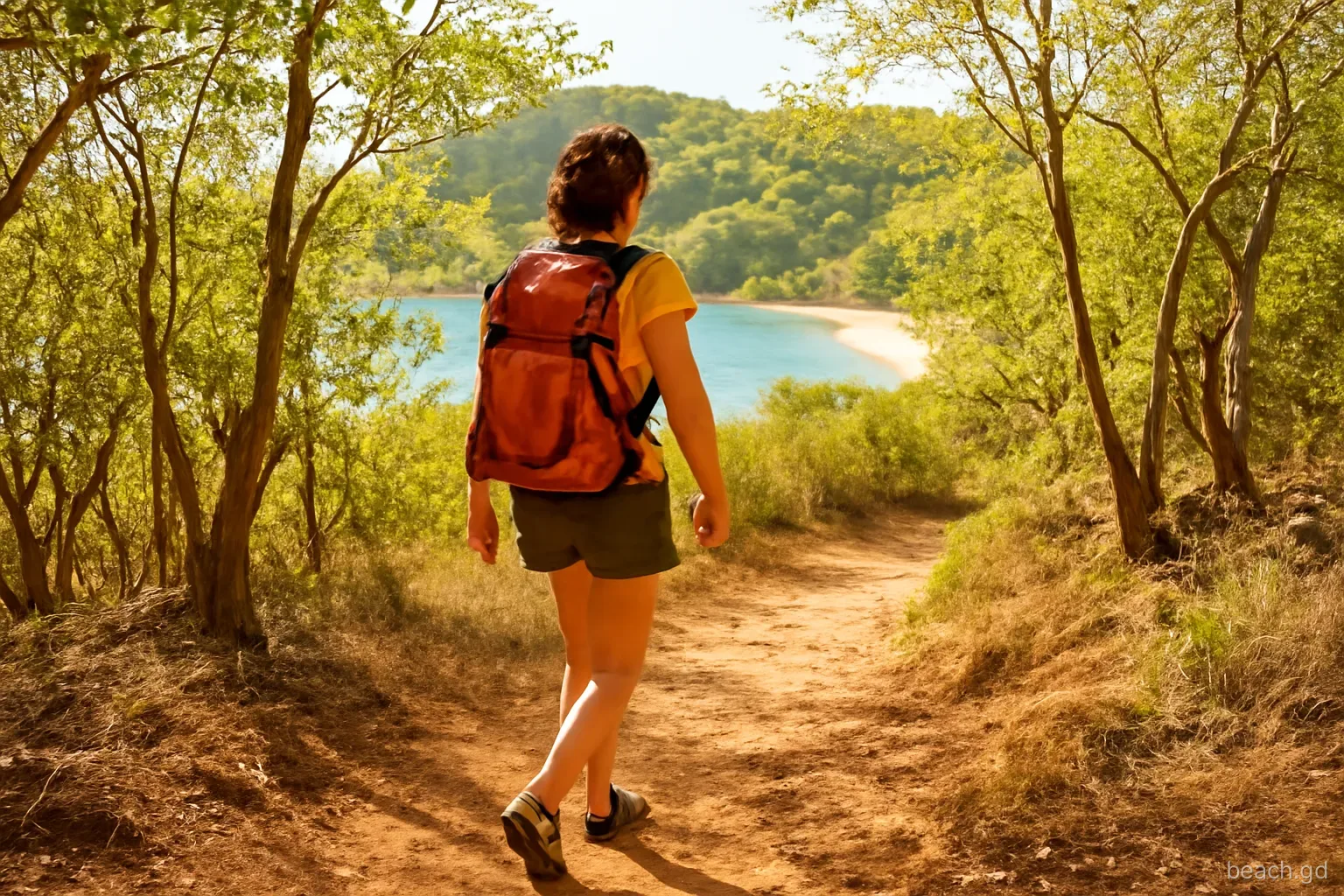
The land route starts in the village of Bogles on the north-west side of the island. It is a walk, not a technical hike, but it is steep in places and not well marked.
- Get to Bogles by taxi, scooter or minibus from Hillsborough. Parking along the road is very limited, so a drop-off works better than driving.
- Ask in the village for the track to Anse La Roche. People are used to the question, and the starting point, where a dirt road leaves the paved one, is easy to miss without a pointer.
- Follow the dirt track as it climbs gently through scrub. Allow around 20 to 30 minutes at a steady pace.
- Watch for the narrow footpath that drops off the track towards the sea. Markers have included paint splashes on rocks and small home-made pointers, but they come and go.
- Descend carefully. The final section is steep, loose and rooty, and takes about 15 minutes. If you lose the path, head downhill towards the sound of the waves rather than cutting across slopes.
- On the beach, note where the path comes out so you can find it again. The return climb is harder and slower than the descent, so leave more time than you took coming down.
The water-taxi option
How it works. Boatmen in Hillsborough, and sometimes at Paradise Beach or Tyrrel Bay, will take you round the coast, drop you on the sand and come back at an agreed hour. The ride takes roughly 20 to 30 minutes depending on the boat and the sea.
What it costs. Fares are per boat rather than per person for this run, and have been quoted around US$60–90 return. That changes, so agree the full amount, the currency and what time you will be collected before you leave the jetty.
When it makes sense. With children, older relatives, heavy snorkel kit, or in the heat of the dry season, the boat is the better choice. It also lets you see the coastline north of Hillsborough from the water.
When it does not. In strong winds or swell, boatmen may decline the trip or advise a different beach. Take that advice: landing a small boat through surf is how people and equipment get hurt.
Combine them. Some visitors walk in and arrange a boat out, or the reverse. If you do, make sure the boatman knows exactly which beach and time, and has a way to reach you.
What to carry for Anse La Roche
There is nothing to buy at the beach and no reliable shade. Pack as if for a few hours on your own:
- At least 1.5 litres of water per person, more in March to May when the island is driest and hottest.
- Proper footwear for the trail: trainers or sturdy sandals with straps, not flip-flops.
- Sun protection: hat, long-sleeved top and reef-safe sunscreen. The cove gets full afternoon sun.
- Snack or lunch, and a bag to carry every piece of rubbish back out.
- Mask and snorkel for the rocks at each end; reef shoes if you plan to clamber.
- A charged phone in a dry bag, but do not count on signal in the cove.
- A small first-aid kit with plasters and something for scrapes from rocks or the trail.
Sea conditions and turtles
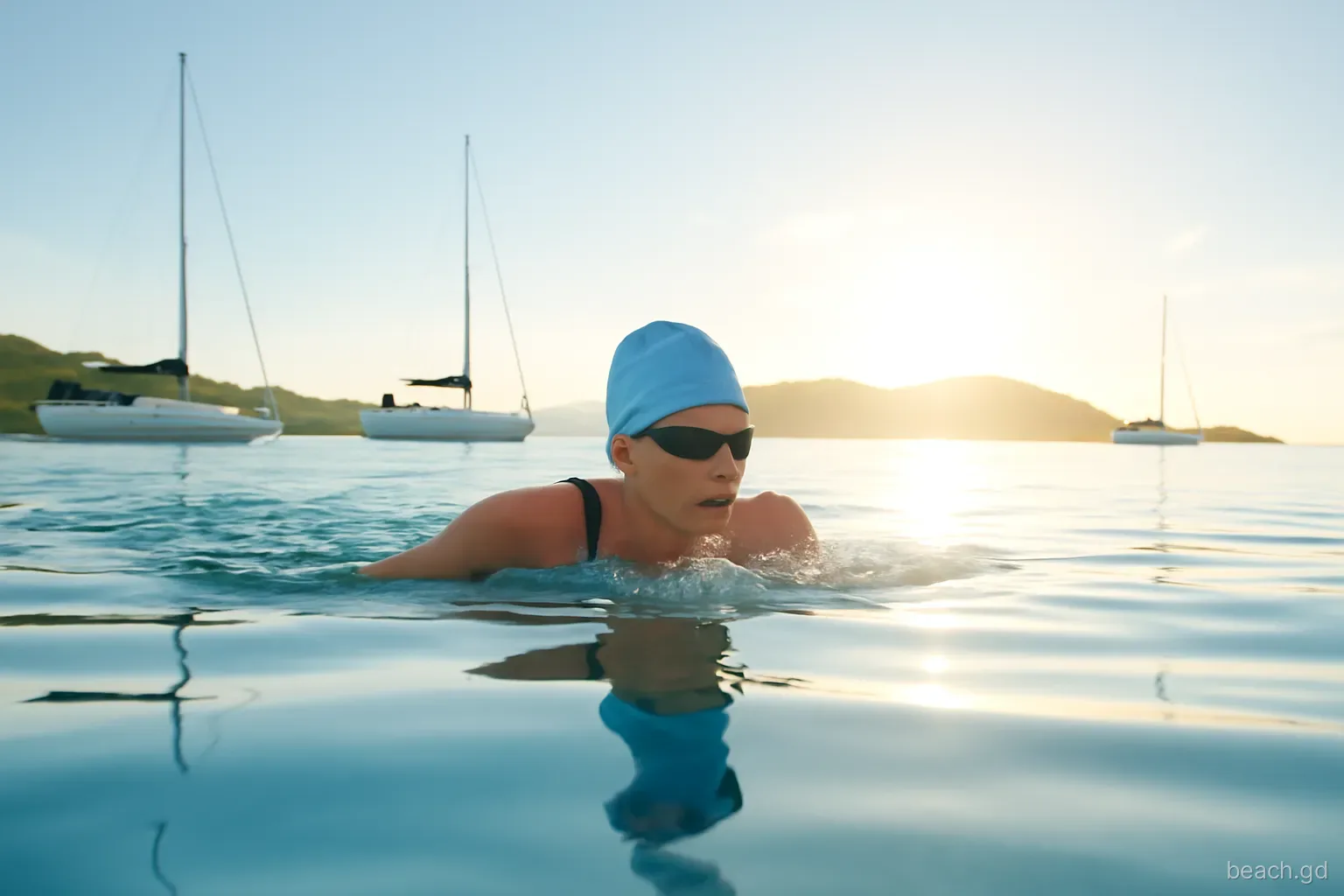
On calm days the water in the cove is clear and inviting, and swimming along the rocks is the highlight. But Anse La Roche is more exposed than the bays further south. In the winter months, when swells generated far to the north reach the Grenadines, waves can break directly onto the beach and pull back hard down a steep shore. If you see waves dumping onto the sand, or water rushing back out with force, stay on the beach. Nobody is coming to help quickly.
Turtles are the other consideration. Hawksbill and leatherback turtles nest on Carriacou's beaches during the season, broadly from spring into autumn. Do not dig in the upper beach, walk around any marked nest, and do not visit at night with lights. Local conservation groups monitor nesting on Carriacou; if you see tracks, leave them undisturbed and mention them to your guesthouse, who can pass the word on.
Trail or boat: a quick decision
Choose the trail if... you walk confidently on uneven ground, you are travelling light, the day is not oppressively hot and you enjoy the sense of arriving under your own steam. It costs nothing beyond the ride to Bogles.
Choose the boat if... anyone in the group is unsteady on slopes, you are carrying children or snorkel kit, it is the height of the dry season, or the path is reported overgrown after storms or rain. Splitting the fare between four or five people narrows the cost gap considerably.
Rethink the day if... the sea is rough, rain is forecast, or nobody in Bogles or at your guesthouse has been down recently and can describe the path. Paradise Beach or Tyrrel Bay will be calmer and easier.
Adding High North Peak to the walk
Fit walkers sometimes combine Anse La Roche with the climb to High North Peak, the island's highest point, through the national park. Routes recorded by hikers make a loop of around six kilometres that takes two to three hours of walking, longer with stops and a swim. Markings have been inconsistent, sections are steep and the vegetation changed after Beryl, so this is a walk for people comfortable finding their way, or with a local guide.
Do it in the cooler early hours, carry more water than seems reasonable, and swim last rather than first so you are not climbing in wet clothes. Tell your host your route and expected return time. Signal is unreliable in the folds of the hillside, and the north of Carriacou is thinly populated.
Frequently asked questions
How long is the walk to Anse La Roche?
Most people take around 40 minutes to an hour each way from Bogles: a dirt track first, then a short steep path down to the sand. The climb back is slower. Start early to avoid the midday heat, and allow extra time if the path has not been cleared recently.
Is Anse La Roche hard to find?
The start of the footpath is the tricky part, as markers come and go. Ask in Bogles for directions before setting off. Once you are on the descending path, keep heading downhill towards the sea and avoid cutting off across steep slopes.
Can children go to Anse La Roche?
Older children who walk well can manage the trail with supervision, though the final descent is steep and loose. For younger children a water taxi is easier. There are no facilities and no lifeguard, so only swim with children when the sea is clearly calm.
Are there facilities at Anse La Roche?
None. There are no toilets, no food or drink and no reliable shade. Bring everything you need for the visit and carry all rubbish out, including food scraps, so the cove stays as clean as it was when you arrived.
When should you avoid Anse La Roche?
Avoid it in strong swell, which is most likely in the winter months, after heavy rain when the path is slippery, and in the hottest hours if walking. If a boatman says conditions are wrong for landing, choose another beach that day.